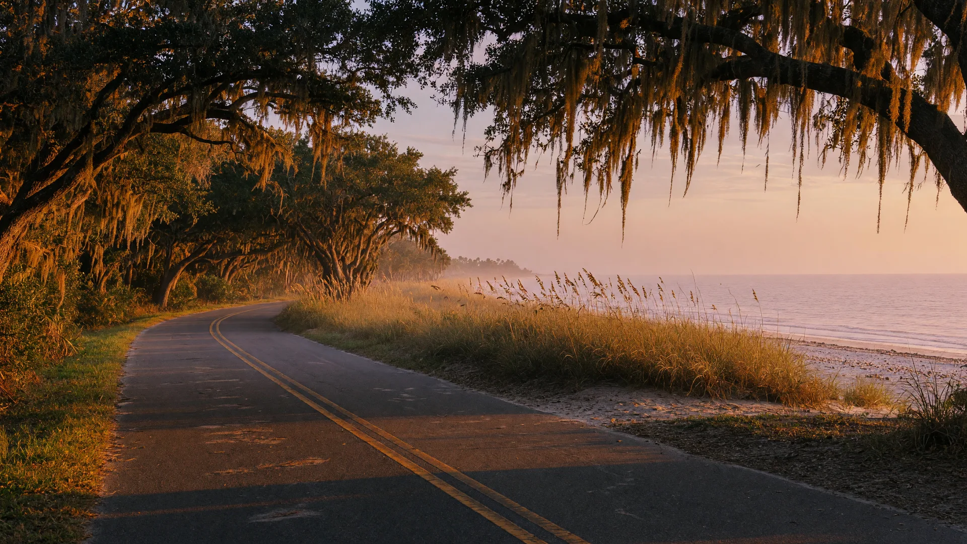
The Ormond Scenic Loop and Trail is a roughly 34-mile double loop of scenic roadways around Ormond Beach, designated a Florida Scenic Highway in 2007 and a National Scenic Byway in 2009. It links the Atlantic shoreline to the Intracoastal Waterway through live oak hammocks, state parks, and some of the most diverse natural scenery left on Florida's central east coast, all within minutes of 1239 Ocean Shore Blvd.
What the Loop Is
The route uses A1A and John Anderson Drive along the barrier island and Old Dixie Highway on the mainland, so one drive takes in both the ocean and the river. Along the way it passes four state parks and six local public parks, plus roughly ten miles of beachfront, per the Ormond Scenic Loop and Trail site. The loop is popular with motorists, motorcyclists, and bicyclists, and it is one of the reasons Ormond Beach is known as the quieter, greener side of the Daytona coast.
Wildlife and Parks Along the Way
The route gives access to North Peninsula State Park, Bulow Creek State Park, and Tomoka State Park, all detailed on the Florida Scenic Highways page for the loop. Wildlife watching is the draw: dolphins and gopher tortoises are regulars, and northern right whales and humpback whales pass offshore during their migration seasons, with abundant birdlife year-round. The Daytona Beach Area CVB keeps a practical guide to the drive, including where to stop.
History on the Route
The loop passes The Casements, John D. Rockefeller's former winter home, now the City of Ormond Beach's cultural center and the setting for festivals all year. Pairing a drive on the loop with a stop at The Casements and a walk on the no-drive beach in front of the condo makes a full day of what Ormond Beach living feels like, without ever leaving the neighborhood.
Thinking about buying on this coast? The loop is a great way to see the area during a showing visit. Contact Debbie Weller to tour Unit 7F6, and she will map out the drive for you.